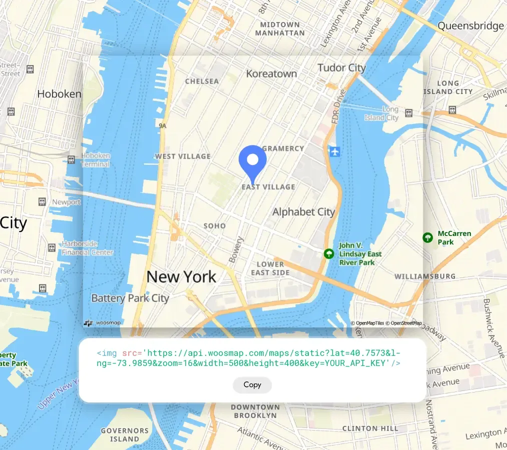
Quick, Clear Static Maps Built for Every Channel
Not every moment calls for an interactive map.
Sometimes your users just need a clear, single-view map image that gives them location context instantly — no clicking, no scrolling, no loading time.
That’s what Woosmap Static Maps deliver.
A reliable, on-brand map snapshot generated in milliseconds through the Woosmap Maps API, ready to drop into any channel where clarity and speed matter. These static map images can even be used across printed collateral or uploaded onto websites via a generated URL to promote business locations or provide visual context for reports.
Static Maps as Part of the Journey
Static maps aren’t a replacement for interactive maps — they’re a perfect complement.
Use them when you want to give users a quick, visual reference they can trust, often as a follow-up to an earlier search or decision.
A conversational or interactive map helps a user explore. A static map confirms what they’ve chosen, or shows them where they’re going next.
Practical Ways to Use Static Maps
- Embed them in order confirmations so customers instantly recognise the pickup or delivery location.
- Include them in event reminders so attendees can see exactly where to meet.
- Place them on store and branch pages for instant location context without loading an interactive view.
- Drop them into PDFs, reports or route plans ensuring location context is preserved wherever the document goes.
- Add them to mobile notifications where an image loads faster and is easier to read than a link.
- Enhance presentations or brochures for internal business use, using map images with custom styles to highlight store locations, delivery zones, or other geographic insights for marketing or operational decisions.
A Real-World Example
A conference organiser sends out an email to all attendees the day before the event.
It includes the schedule, speaker lineup, and — crucially — a static map showing the venue layout, main entrance, nearby public transport stops, and recommended parking areas.
Because it’s a single image, attendees can reference it instantly on their phone or print it out, without needing to load an interactive map or worry about mobile reception on the day.
It’s quick, clear, and purpose-built for pre-event orientation, not live navigation.
Performance & Business Benefits
- Instant understanding — Users see exactly what you mean without extra clicks.
- Universal compatibility — Works anywhere an image can go: email, SMS, print, PDFs.
- Cost control — No ongoing rendering or extra API calls after the image is generated and retrieved.
- Custom branding — Style maps with your colours, markers, and labels for a consistent look.
- Instant understanding — Users see exactly what you mean with clear map images and markers without extra clicks.
Making Static Maps Even Better
You can take static maps beyond the basics by:
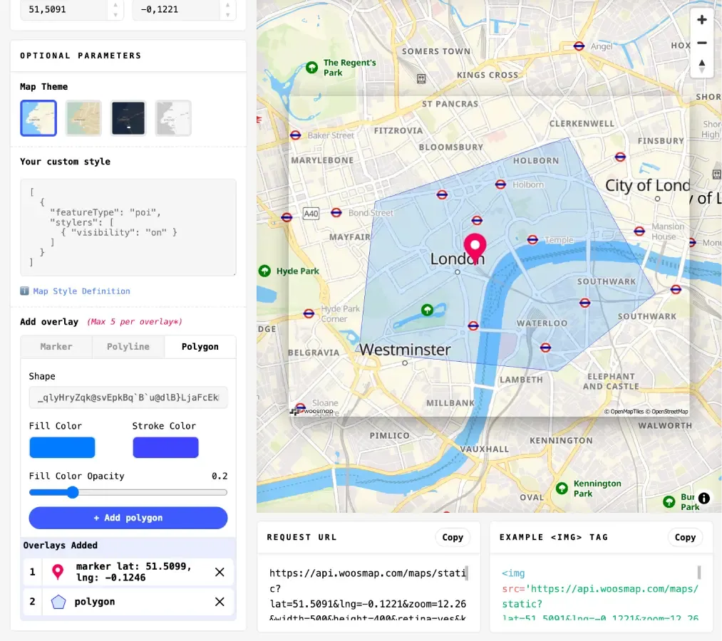
- Adding custom markers to highlight entrances, drop-off points, or meeting spots.
- Drawing routes for deliveries, events, or field operations.
- Choosing map styles that fit your brand and improve readability.
- Optimising image resolution for the channel it’s going into — crisp for print, fast-loading for mobile.
Try It for Yourself
The Woosmap Static Map API makes it quick to generate your first image. Test the feature live here.
Define your location, zoom, and style, and you’ll have a fully hosted, high-quality map ready to use anywhere.
Imagine how you could give your users that same instant clarity — in their inbox, on their phone, or in a printed guide.
Get in touch with our team to explore how static maps can become a seamless part of your user experience.

