

Woosmap Localities: Enhance Your Location Search Experience
Improve your users’ location searches with precise, private global results using APIs like Autocomplete, Geocode, and what3words.
Access detailed location data—postcodes, cities, countries, train stations, airports and more—in milliseconds, with 99.95% uptime guarantee.
Explore full country and address coverage here.
Effortless and Error-Free Typing for Users
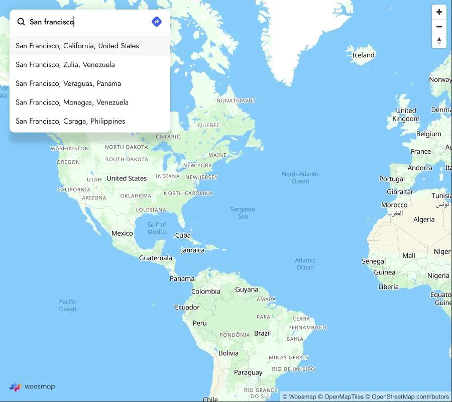
Deliver real-time, global suggestions for geographic searches, matching full words and substrings.
- Predict locations in milliseconds as users type.
- Enhance accuracy with location-specific suggestions.
- Support diverse global languages.
- Provide enriched coordinates and place types.
- Filter results by country, type, and geography.

Try it yourself here
![[img alt] Woosmap Localities API Geocoding](https://assets.reactbricks.com/BxDn19202m8MzUC/images/original/sBH51clfEFP6bdd/woosmap_localities_geocode.webp)
THEY Trust LOCALITIES API

We did an A/B test on autocompletion with Woosmap. For the United Kingdom, we witnessed a significant difference: +24% increase in overall conversion rate and an impressive +35% for new customers, which is substantial!
Explore Pricing
Start for free with our flexible, usage-based model and enjoy volume discounts as you grow.
FAQs
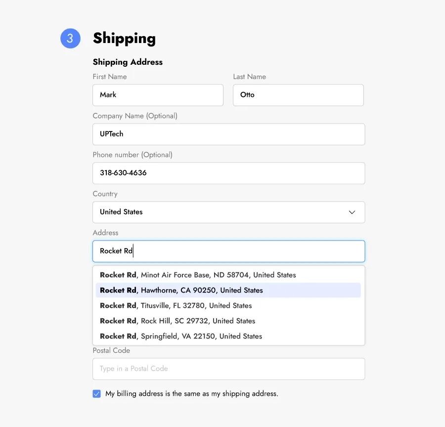
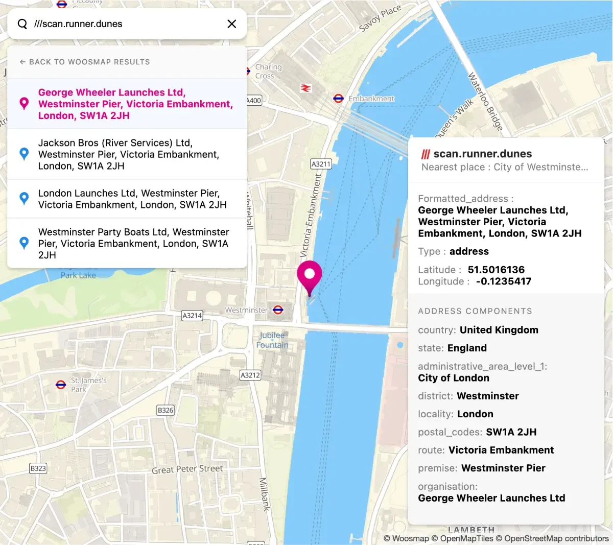
Geocoding is the conversion from an address to geographical coordinates in latitude and longitude (lat/long).
These coordinates can then be used to map the results, compute distance calculations to find closest locations and even get directions to those locations. For example, King’s Cross Station, Euston Rd., London N1C 4TB, United-Kingdom correspond to 51.531761, -0.123621
On one hand, Geocoding is something which we use all the time when accessing mapping services. When opening a map application and choosing a position on it, visually representing a location with the “blue dot”, the process is called geocoding.
On the other hand, when someone is sharing their live location, the blue dot can also be use for reverse geocoding.
Note: whether there’s a full or partial address, Geocoding API can recognise anything.
Reverse geocoding, also called reverse address lookup, is geographical coordinates (longitude and latitude) matched with the nearest address (or street). For example, 55.948598, -3.199923 are the geographic data coordinates that will match Edinbrugh Castle, Castlehill, Edinburgh EH1 2NG, United-Kingdom.
Geocoding and reverse geocoding have a worldwide coverage with the exception of the following countries: China mainland, North and South Korea, and Japan.
Note: Woosmap provides the best data in France and the UK!
You can use filters by country or language to get more relevant results.
Use the “language” setting to limit the number of results or filter by country (alpha 2/alpha 3 codes are available) to restrict your results to specific areas.
Use different parameter to narrow down your results:
- Define countries or geographical parameters in your requests to limit results accordingly.
- Specify the language parameter to get results in a dedicated language (when available).
Check our documentation to get more details.
Yes, the REST API is designed to support a large volume of requests (possibility to do batches). You can use the API to properly format your clients’ address database, for example.
If you intend to cache results, please contact us to get details on caching options
Woosmap operates on subscriptions.
The Woosmap Console account will pool the volume of queries made in all the APIs set up on your platform. The subscription will depend on the volume of queries available.
Credits are counted each time a query is made to a Woosmap API. Though, not every query is worth the same, it ranges from 0.1 to 5 credits per query.
You can check pricing here.
Get in touch
Let's discuss how you can utilise the Woosmap Platform to drive growth.